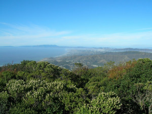
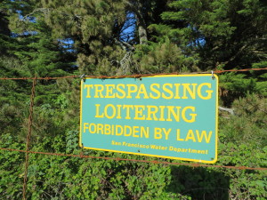
 Over 23,000 open space acres sit in the heart of the SF Peninsula. The area is closed to the public while being surrounded by other public space including:
- Pacifica & Sweeney Ridge (GGNRA) in the North
- Sawyer Camp Trail (San Mateo County Parks) on the East
- Montara Mountain, GGNRA & San Mateo County Parks on the West
- 92 & Midpen OpenSpace Parks to the South
The barbed wire fence along the perimeter gives the closed, military feel. The SFPUC (San  Francisco Public Utility Commission) manages the fence and the 23,000 acres inside. The land includes several reservoirs and an extensive series of fire roads traversed by 4 wheel drive vehicles.
Lack of SFPUC access blocks Bay Area world class outdoor adventures like the Bay Area Ridge Trail & a proposed Sweeney to the Sea Trail http://www.sfgate.com/sports/article/Opening-gates-for-Sweeney-to-sea-hike-3275072.php .
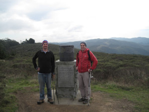
I’ve hiked many trails that end abruptly by a fence even though the fire road continues on the  other side. The spot where Junipero Serra identified the San Francisco Bay for the first time is adjacent to closed SFPUC lands.
Marin, Santa Clara County, & Santa Cruz County Watersheds are all open to the public – unlike the SFPUC lands. Opening the SFPUC lands would connect many park systems including San Mateo County Parks, Golden Gate National Recreation Area Parks, and CA State Parks.
Bay Area citizens can help open the Watershed.
- A new group Open the SF Watershed has made huge progress in rallying support for the 23,000 acres
- Two places to support Open the Watershed include: https://www.facebook.com/opentheSFwatershed?fref=ts & http://www.openthewatershed.org/
- There is also a SF Watershed Town Hall on Thursday April 2 at 2 pm at City Hall where folks should attend for their voices to be heard.
Hopefully, a hiker will soon be able to walk from the world class views of Sweeney Ridge, across Montara Mountain, the highest point in the North Peninsula, and down to Grey Whale State Beach to watch migrating whales. This reality can happen just by using existing trails and fire roads – if only the part of the 23,000 acres were open to the Public.
